
View Our Recent Work:

Most boaters assume that navigation begins and ends with GPS. Turn on the chartplotter, watch the little boat icon move across the screen, and trust it completely. That assumption has put real vessels in real danger. Modern navigational systems explained properly involve at least four distinct technologies working together, any one of which can fail under the wrong conditions. GPS jamming is no longer a theoretical threat. It affects commercial shipping right now, in waters you may actually sail. Understanding how these systems work, where they break down, and what backups exist is not optional knowledge for serious boaters. It is the foundation of safe seamanship.
Table of Contents
- Key Takeaways
- How GPS and multi-GNSS satellite navigation work
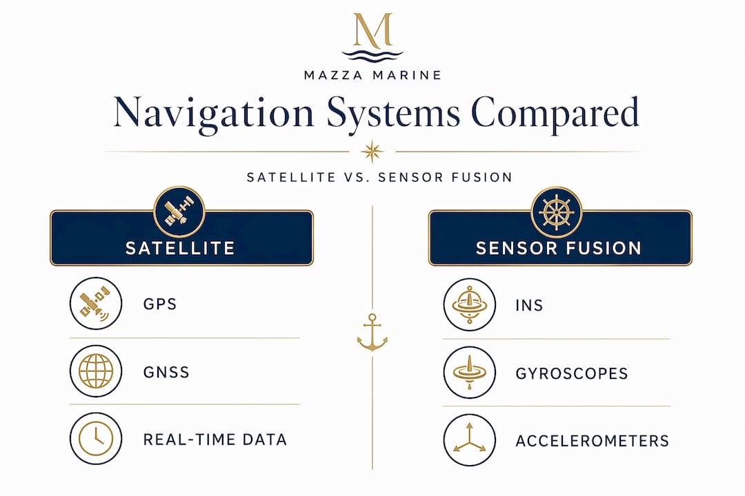
- Inertial navigation systems and sensor fusion
- Emerging navigation technologies for maritime safety
- Maps, routing software, and chart data quality
- My honest take on how navigation is really evolving
- Upgrade your yacht’s navigation with Mazzamarine
- FAQ
Key Takeaways
| Point | Details |
|---|---|
| GPS alone is not enough | Multi-GNSS receivers tracking 60+ satellites across four constellations deliver far greater reliability than single-system GPS. |
| INS fills the gaps | Inertial navigation systems maintain position independently during GPS outages but require periodic correction to prevent drift errors. |
| Jamming is a real threat | GPS spoofing and jamming affect commercial maritime navigation today, making resilient A-PNT solutions worth considering. |
| Map quality matters as much as signal | Outdated or poor chart data can mislead even a perfectly accurate GPS fix into a dangerously wrong displayed position. |
| Integration beats reliance on one system | Combining satellite, inertial, and emerging quantum navigation technologies produces the most reliable maritime navigation solution available. |
How GPS and multi-GNSS satellite navigation work
GPS is the technology most boaters know, but understanding what actually happens beneath the surface makes you a sharper navigator. Your receiver picks up radio signals from multiple satellites orbiting roughly 12,550 miles above Earth. Each signal carries a precise timestamp. By measuring how long each signal takes to arrive, the receiver calculates its distance from each satellite using a principle called trilateration.
For a full three-dimensional position fix that gives you latitude, longitude, and altitude, GPS requires four satellites at minimum. Under open sky on the water, most modern receivers see six or more simultaneously, which improves accuracy considerably. The more satellites in view with good geometry spread across the sky, the tighter the position solution.
Here is where the navigational technology overview gets more interesting for today’s boater. GPS is an American system. But three other constellations now cover the globe: Russia’s GLONASS, Europe’s Galileo, and China’s BeiDou. A receiver that taps into all four is using a multi-constellation Global Navigation Satellite System, or GNSS. Modern GNSS receivers track over 60 satellites across all four systems combined, which transforms both accuracy and availability compared to what a GPS-only unit can achieve.
Why does this matter practically for boaters?
- A GPS-only unit might struggle in a marina with tall buildings or boats blocking portions of the sky. A multi-GNSS unit draws on a wider pool of visible satellites to maintain a solid fix.
- If one constellation experiences an outage or degraded performance, the others continue providing coverage without interruption.
- The combined constellation geometry typically produces a tighter horizontal dilution of precision, the metric describing how satellite positioning affects fix accuracy.
- Receivers built on an integrated multi-constellation approach vastly improve navigation reliability for all maritime users.
Pro Tip: When shopping for a new chartplotter or standalone GPS unit, confirm it supports all four constellations: GPS, GLONASS, Galileo, and BeiDou. This single specification separates adequate marine GPS from genuinely dependable navigation hardware.
Inertial navigation systems and sensor fusion
Satellite signals can disappear. Bridges block them. Heavy storm clouds degrade them. Hostile interference can corrupt them entirely. This is precisely where inertial navigation systems, known as INS, earn their place aboard well-equipped vessels.
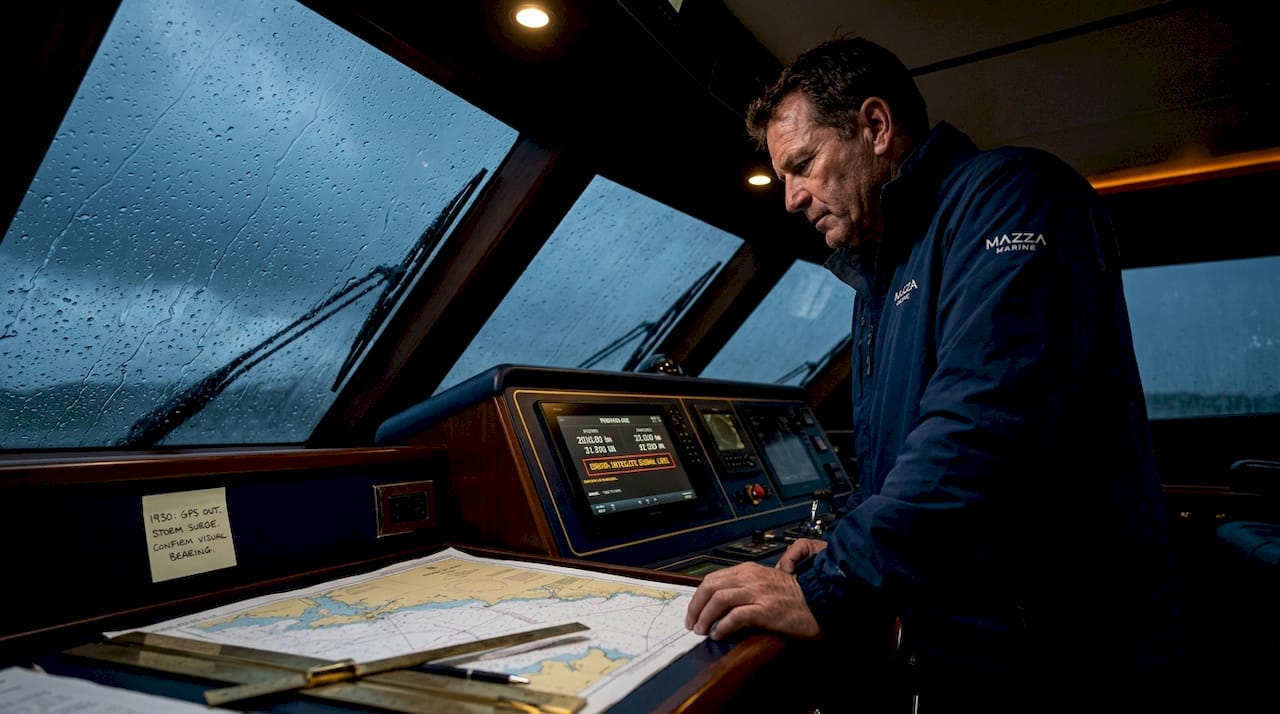
An INS uses accelerometers and gyroscopes to track every movement your vessel makes from a known starting point. It measures acceleration in all directions and angular rotation, then integrates those measurements over time to calculate your current position. This process is dead reckoning executed by electronics at extremely high speed. No satellite contact required. INS tracks position by dead reckoning continuously, operating completely independently from any external reference signal.
The limitation is honest and well understood. Tiny measurement errors in the sensors accumulate with every calculation cycle. Over time, this integration drift causes the INS-computed position to wander away from your actual location. Without correction, even a high-quality INS will develop meaningful errors over a voyage of any length.
The solution is sensor fusion, and it is where modern navigation hardware becomes genuinely elegant. Combining GPS and inertial sensor data produces a continuous navigation solution that neither system could sustain alone. When GPS signal is strong, it constantly resets and calibrates the INS, eliminating drift. When GPS disappears, the INS maintains a reliable position estimate until the signal returns. The fusion algorithm running in the background manages this handoff invisibly to the user.
Practical scenarios where this matters for boaters include:
- Transiting under a low bridge where satellite signals are briefly blocked
- Operating in a marina surrounded by tall steel-hulled vessels that create signal shadows
- Running through a squall where atmospheric conditions degrade GPS accuracy
- Anchoring in a protected cove with steep terrain on multiple sides
Pro Tip: If your vessel operates in areas with frequent GPS interruptions, prioritize navigation hardware that advertises sensor fusion or GPS/INS integration rather than GPS-only units. The difference in displayed position stability during bridge transits alone justifies the upgrade.
Emerging navigation technologies for maritime safety
GPS jamming and spoofing have moved from theoretical concern to operational reality. Jamming and spoofing constitute an operational reality affecting commercial shipping navigation systems today, with disrupted satellite clocks creating AIS-assisted collision risks in high-traffic waterways. For boaters operating in contested maritime zones or near military exercise areas, relying exclusively on satellite navigation carries genuine risk.
Two categories of emerging technology offer meaningful answers.
Quantum navigation and magnetic anomaly positioning
Quantum navigation, often called MagNav, uses the unique magnetic field characteristics of Earth’s surface as a location fingerprint. Every patch of ocean floor has a distinct magnetic anomaly profile. A vessel carrying a sensitive magnetometer can compare its measured magnetic signature against a stored global map and determine position with high precision. MagNav uses magnetic fingerprints for location and provides critical redundancy, entirely immune to satellite jamming or spoofing. Quantum navigation technology promises a future where navigation accuracy is no longer vulnerable to satellite signal interference.
Assured positioning and Iridium-based alternatives
Assured Positioning, Navigation and Timing, known as A-PNT, refers to a class of solutions designed to maintain navigation integrity even when GPS is deliberately degraded. Iridium’s satellite network provides reliable navigation that is resilient to jamming, offering an alternative positioning and timing source. Hardware for these systems runs approximately $7,000 to $9,000 with ongoing maintenance costs, putting it within reach for serious yacht owners rather than just commercial operators.
| Technology | Signal source | Jamming resistant | Best use case |
|---|---|---|---|
| GPS/GNSS | Satellites (4 constellations) | No | Primary navigation, open water |
| INS | Onboard sensors | Yes | Short-term GPS outage coverage |
| MagNav (quantum) | Earth’s magnetic field | Yes | GPS-denied or hostile environments |
| A-PNT / Iridium | Alternative satellite network | Yes | High-risk maritime chokepoints |
“Maritime cyber security threats have evolved into everyday challenges that affect vessel safety and the reliability of electronic navigation.” — Seatrade Maritime
Protecting your navigation systems from these threats is no longer a conversation reserved for navy vessels or commercial shipping companies. It belongs in every yacht owner’s planning conversation.
Maps, routing software, and chart data quality
A perfect GPS signal feeding into outdated or inaccurate chart data will still lead you astray. This is one of the most underappreciated points in any navigational systems discussion.
Map matching is the software process that takes your raw GPS fix, which carries some inherent noise and error, and snaps it to the nearest known feature in the chart database. Map matching snaps an inaccurate GPS position to known features, improving displayed reliability considerably. The catch is that this only works correctly when the underlying chart data is accurate and current. If the channel has shifted, if a sandbar has built up, or if a new obstruction has been placed, the software will confidently snap your position to a feature that no longer reflects reality.
Navigation systems are only as good as their map data. Commercial charts from publishers like Navionics offer regularly updated data with professional survey backing, plus lane guidance and routing optimization. Community-driven platforms sometimes outperform commercial sources in rapidly changing waterways, particularly in regions where commercial survey frequency is low.
Common mistakes boaters make with chart data:
- Running a chartplotter on charts that have not been updated in two or more seasons
- Trusting commercial charts exclusively in areas known for shifting sandbars or seasonal channel changes
- Failing to cross-reference the electronic chart against the printed Notice to Mariners for recent changes
- Ignoring software update notifications because the current version “works fine”
Real-time data integration takes chart quality a step further. Modern routing engines can pull in live weather overlays, current data, and even AIS traffic information to dynamically refine your planned route. This is the practical frontier of navigational systems and mapping working together for genuine safety gains.
Pro Tip: Before any extended offshore run, update your charts and check the most recent Notice to Mariners for your planned route. The fifteen minutes this takes has saved more than a few vessels from very avoidable groundings.
My honest take on how navigation is really evolving
I’ve spent enough time watching boaters interact with navigation technology to have a strong opinion on where things actually stand. The confidence most owners place in a chartplotter is remarkable, and frankly, it worries me more than their hardware choices.
The technology has gotten genuinely good. Multi-GNSS receivers, sensor fusion hardware, and software routing that would have required a ship’s navigator to compute manually twenty years ago now sit in a $1,200 touchscreen unit. That progress is real and worth celebrating.
But the lesson I keep coming back to is this: the boaters who navigate best are the ones who understand what their electronics are actually doing, not just what the screen shows them. When a GPS fix jumps 200 feet during a bridge transit, the boater who understands sensor fusion knows the INS is holding position and the jump is temporary noise. The boater who only trusts the screen may make a panic correction that creates the very hazard they were trying to avoid.
The emerging threat from jamming is not science fiction. I’ve spoken with commercial captains operating through Eastern Mediterranean routes who’ve experienced coordinated spoofing events that placed their AIS position miles from their actual location. That is not an abstraction. It is a real-world failure mode that recreational boaters in increasingly contested waterways should take seriously.
My strongest recommendation is to treat navigation as a layered system, not a single device. Understand your primary GPS/GNSS capability. Know what your INS fallback provides. Keep your charts current. And if you operate in areas with elevated jamming risk, have a conversation about A-PNT options. The nav system upgrade checklist at Mazzamarine is a good starting point for thinking through exactly this kind of layered approach.
Technology will keep improving. But the boater who understands the system beneath the screen will always navigate more safely than the one who merely follows the arrow.
— Jason
Upgrade your yacht’s navigation with Mazzamarine

Understanding how navigational systems work is step one. Making sure your vessel’s hardware and software are actually up to the job is where that knowledge pays off. At Mazzamarine, Mino and Luigi’s team works with Florida yacht owners every day on exactly this kind of upgrade work, from installing multi-GNSS chartplotters and sensor fusion systems to evaluating cybersecurity exposure in existing electronics packages.
If your current nav setup is more than a few seasons old, it may be missing multi-constellation support, current chart subscriptions, or the kind of resilient architecture that protects you when GPS signal quality degrades. The Mazzamarine team’s yacht navigation upgrade services cover everything from hardware selection through installation and testing, backed by a network of Florida-based marine electronics specialists who know these waters.
Beyond navigation, keeping your mechanical systems maintained ensures your vessel can respond correctly when your electronics give the right call. Explore the full scope of what proper care looks like through Mazzamarine’s yacht maintenance guide. And if your vessel is showing signs that something deeper needs attention, the Florida repair guide is a practical resource for knowing when to act.
Reach out to Mazzamarine directly. The conversation is free and the expertise is genuine.
FAQ
What is the minimum number of satellites needed for GPS navigation?
GPS requires at least four satellites for a full 3D position fix that includes latitude, longitude, and altitude. Most receivers under open sky track six or more for improved accuracy.
How does sensor fusion improve boating navigation?
Sensor fusion combines GPS data with inertial sensor measurements to maintain a reliable position even during temporary signal loss. This is particularly useful when transiting under bridges or navigating through severe weather.
What is GPS jamming and should recreational boaters be concerned?
GPS jamming involves deliberate radio interference that degrades or falsifies satellite navigation signals. Jamming and spoofing affect commercial maritime navigation today, and recreational boaters operating in affected regions should consider resilient backup systems.
What does A-PNT mean for yacht owners?
Assured Positioning, Navigation and Timing (A-PNT) refers to navigation solutions designed to maintain accuracy when GPS is compromised. Iridium-based A-PNT hardware costs approximately $7,000 to $9,000 and provides a genuine alternative for high-risk maritime routes.
Why do chart updates matter even when my GPS signal is strong?
Map matching software snaps your GPS fix to the nearest known feature in your chart database. If that database is outdated, the software will display a confident but incorrect position, regardless of how accurate the underlying GPS signal actually is.
Recommended
Text or Call 954-330-9653 Schedule Appointment
Mazza Marine Yacht Services & Refit

Fiberglass Upgrades and Damage Repair

Premium Yacht Paint/ Faux Teak

Fishing: Custom Rods, Reels,Tackle

Electrical, Electronics and Navigation

Paint, Hull and Gelcoat

Teak Decks, Wood Cabinets, Carpentry

Canvas, Enclosures and Upholstery

Mechanical, Repower and Running Gear

Plumbing, Bilge and Thru-Hulls

Welding and Custom Fabrication

Interior Refit And Past Work
Get your yacht value Estimate
"*" indicates required fields